
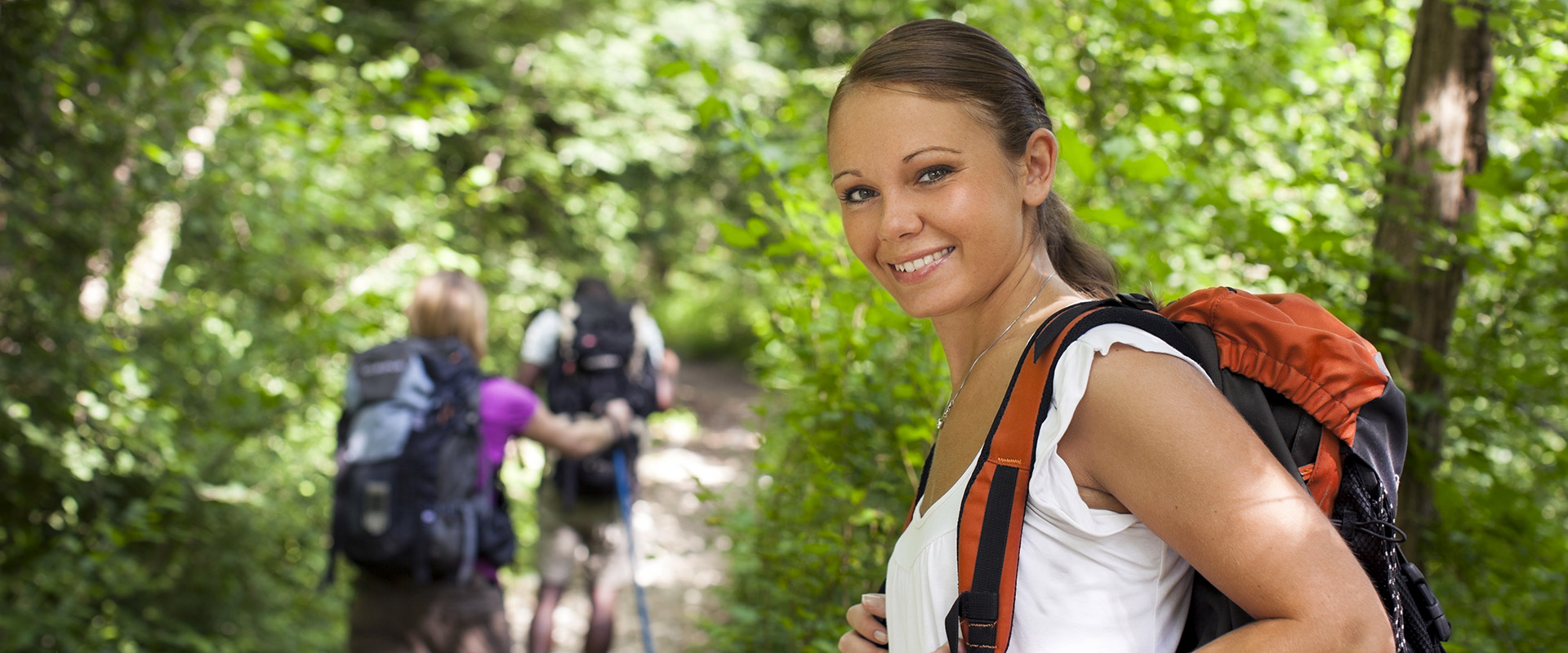
TREKKING TRAILS ELBA
We show you a few trails from the west of the island, so you can discover the big story of the beautiful landscape of the small Elba island.
The proposals are from the publication “A Walk in the Park” (download in PDF), a very useful trail guide was developed in collaboration with the Association of Costa del Sole and the consortium Legambiente Capo Sant’Andrea.
FETOVAIA AND SECCHETO
1) The way of the shepherd
We start in Fetovaia, the route No. 35 is rising next to the bus stop. The southwestern part of the island of Elba is dominated by the dense scrub. In this way we will find remnants of the granite quarries. In this area, the history of man is long, for it was here well-preserved human remains from prehistoric times. As we opened up here to get a beautiful panoramic view. At the Sughera della Piane, we recommend to San Piero No. 34, which is reasonably easy to achieve. After we were able to enjoy many art galleries (Fetovaia, Seccheto, Marina di Campo, Pianosa, Montecristo and Corsica, on clear days, Argentario and Giglio), we reach Pietra Murata and from here we walk the trail No. 30 After a few hundred meters, we found an old shepherd’s hut, called Caprile. The path is pretty simple, beautiful and you have a view of the Monte Capanne. Between mountain and valley, streams and ferns is the magical place Macinelle. This is a small remote place, where we see many Caprile. Here we can take a break and rest. From a distance, you can watch wild sheep or hawks. After the break we take a short descent route, we reach 30 to the diversion of Bivio della Grottaccia. From here we go the way No. 31 and No. 8 in the direction Mura, or we take the faster route 8 towards Fetovaia, Seccheto. We recommend to go the way No. 31, because it is longer but easier and you see the way No. 35 on the left again a Caprili.
Difficulty: Difficult
Hiking time: 7 hours
2) Seccheto – Fetovaia
We are going a small piece of asphalted Street from Seccheto in the direction of Vallebuia and then we follow the signs for No. 37. With this way we leave the village and dive into the nature of the Mediterranean. It is a difficult path with short distances. When we reached the junction with route 35, turn left (this is the first part of the path) and goes back to Fetovaia.
To discover the second part of the path of 1-1.5 hours to the beauty of the coastal zone is difficult. Watch for some Maps you can buy on the island, the trails No. 37 and others are not signed in some maps yet, because they only recently opened at the request of the Costa del sole.
THE VALLEY OF POMONTE
1) Pomonte – La Grottaccia – Le Mura – Monte Cenno – Monte Orlano – Pomonte
We start in Pomonte and go over the bridge of the old cemetery. Then we go the old road, where the vineyards are high. Here we are in the middle of a completely man-made landscape: terraced vineyards and orchards. If you look closely you will discover that these vineyards are only a small part of the whole which was edited centuries ago and has now been neglected by tourism. Nobody goes there anymore high to grapes to grow. Now the mountains full of Mediterranean scrub is covered. Now we follow the path 9 and a pretty steep stairs and the first track, the road becomes easier. After crossing the creek Porterogna we find the first old building. From here we can quickly find a first chestnut forest and we cross a second small stream. Set single pair breaks and go the way slowly. Look at the panorama of Pomonte of which conclusively shows the mountains of Corsica. We always go straight to the building Poio and a short flat road, we reach a creek on the right side. As we go down to the valley, we cross the creek several times. Now we have seen in the beautiful region of the distance from nature. A bunch of ferns, chestnut trees, waterfalls, a shady area where many animals are hiding. It’s worth to take a break and eat something small. After the pause, we go on a steep, that brings us to Grottaccia. We are now close to the church of San Biagio, which was to protect all the citysents at war in the Middle Ages, because they have trapped themselves in there. At the top of the hill is a branch, if we turn left we come to the No. 8 and the way leads us to Le Filicaie and the to top of Mount Capanne. The road leads us to No. 30 Macinelle and San Piero, but we take the path 31 after La Mura, a place with many Caprili (shepherd huts). This is the area with the remains of a shepherd, who has climbed the whole Monte Capanne with his sheeps. He left us some igloos made of granite. After the Monte Orlano we go a short way down and there we are back in a bushland setting with gorse, rosemary and lavender. After the cross of granite rock, we stay on the right side and go down between the vineyards and down to the path number 9, which then leads to Pomonte.
Difficulty: Difficult
Hiking time: 6 hours
GRANITE
1) San Piero – Cave di Granito – Molino di Moncione – Vallebuia-Seccheto – Cavoli – San Piero
Let’s delve into the history, culture and granite of the island of Elba. We start in San Piero from the old part of the village. We go up the path next to the sports field and take the route 35 on the large amount of Caprile (shepherd’s hut) which is built into the rocks. After a simple pitch we see below the big quarry (il Cavone di San Piero). The quarry is still operating and has made this island world famous through the granite. Now we walk towards Moncione a flat path along to a small plateau. Now we have arrived the beautiful mill. This is still intact and you can see the water pool, which allows the milling of grains. From Moncione we go down to the left on the mountain path. Here you can see through the bushes, the old granite columns. This is a place of great archaeological importance.
Now we go back to the main path and continue along the old abandoned fields and vineyards of the Costa dello Svizzero up in the range above Pradazzo, above the Vallebuia. When we reached the main road, we go down the road towards Seccheto. At the second crossing, we found on the right side, you can find other archaeological objects. This is an ancient granite column. This is the area where they used to be the pillars of the mountain to the sea transported so that they get more fast to Rome. The road is already paved and takes you in fast to Seccheto. We recommend to take the coast road for a small piece, although you can also access to hiking trails to La Nave. After Cavoli goes left an asphalt road away to Le Formiche. Go almost to the end of the road and turn right. After a few meters you will find a big strange rock, which is called La Nave. Some claim it came from the Romans and the others say it was a font of the people of Pisa. Still others say it would be a fountain in Florence in the Renaissance been thought.
Now we go further along the path which leads us to the Castancoli and then the main road. Here we find small granite quarries that are still active. This road leads to San Piero. It is worth it to visit San Piero, for its preserved historic village center, a beautiful view over the bay of Marina di Campo. Granite here has made history and even today it plays a big role.
Difficulty: Easy
Hiking time: 5 hours
MONTE CAPANNE
1) Calanche
This route from the Costa del Sole can be achieved. We start with the Way number 8 of Capo Sant Andrea in the direction of Monte Perone or Pomonte with the No. 9 and No. 31. This route starts on the Monte Perone. We go along the main road to the Monte Capanne cross the path 5 and the Caprile from Monte Maolo. We recommend at the intersection of the direction ascend. Warning: This is a very difficult road, do it not when it is wet. We climb up the Calanche and reach a cross. Now we go next to Capanne. We are located on the rocky ridge that divides the Elba, the vegetation is sparse, with low trees and shrubs. Now the way is pretty easy to Malpasso, at the junction with the trail number 8, we have arrived at the foot of the highest mountain in the Tuscan archipelago. Now you come right in the path 5, a pleasant, shady path of oaks and pines. He takes us back to the starting point.
Difficulty: Strictly a difficult section
Hiking time: 2 / 3 hours
2) Crinali del Capanne
In the first part, at the intersection of Malpasso, the way is the same as above, but will now be taken on the way to the summit of the 00 Capanne. The climb along the path marked on the granite is very demanding and takes you to the antennas of the highest mountain in the Tuscan Archipelago (1,019 m). Insert a pause to admire the panorama can be stunning. You can see on the Tuscan coast, the entire archipelago and Corsica. Back to the path we are following the 00 white and red signals. Never leave the trails and you never go hiking in rain or fog. It is really dangerous. The route is marked on the granite, with the steps on the ridge, steep slopes and difficult trails over the rocks. But up here it’s beautiful. We are in the secret heart of the wild park. Then, after Galera, the route is easier to turn on the Mount of Cote. Here we make again a break and rest our legs. For before us a long, narrow path is to Marciana No. 10 At the crossroads we turn right onto route 28, which is on some maps still referred to as No. 10. Here we walk straight up to No. 6 Now we are in the path of the famous Wettlaus Marcianella who finds in the late spring of place. This granite path leads along the Monte Capanne. To return to the Capanne, we take path 1 or on the crossing route number 2, where we will see a beautiful Caprile, and at the next intersection we would have to turn left. You are on the way to the granite slabs, which takes you on the way to No. 5 Monte Perone.
Caution: Do not pick flowers!
Difficulty: this way takes practice and experience.
Hiking time: About a day, so take enough food with you.
CHIESSI
1) Il Semaforo
From Chiessi we start, passing the bridge, along the road to Marciana, we take the path uphill No. 25. We are located on the old path of the vineyards. We walk along a stretch of the gorge Tofonchino. The climb is challenging, but for what you will see in this way it will be worth it to sweat. Following a dirt road, you reach a rocky ridge. We reach an intersection, you may want to look at the lighthouse (The view is very beautiful with Korika and Patresi). Turn left at the broom over, the beautiful yellow flowers in May. Then you go right towards Troppolo. At the intersection, turn right until Pomonte / Chiessi Trail No. 3.
Now the path is easy, mostly downhill. You are now in the realm of strawberry trees. At the junction with No. 4, you can go to search the ruins of the Romanesque church of San Bartolomeo (XII). This was almost completely looted and destroyed by pirates in the sixteenth century. But it also found traces of an ancient settlement dating back to prehistoric times. Now you can go back on the track 3, the descent direction to Chiessi.
Difficulty: Strong
Hiking time: 5 hours
2) Capo la terra
We beat a tough but short trail (4 km) from which the park was reopened in the fall of 2001.
We start on the church square of Chiessi and climb up the granite staircase between the houses until you reach the Route No. 3. Follow this for a few hundred meters and at the first intersection turn left. The route will be easier. We go through abandoned vineyards and orchards. Below us flows the stream Gneccarina. At the next intersection, turn left and walk down the path towards Stream. After you cross him, begins a pitch. As a reward you get a wonderful view over the valley of Chiessi. Then you go to an old shed. Follow the track between the broom until you pass between two walls. Continue to follow the path down until you reach Chiessi.
Difficulty: Strong
Hiking time: 2 hours
I LUOGHI DELLA FEDE (places of worship)
1) Poggio – San Cerbone – Madonna del Monte
We start in Poggio in the cemetery / Castle (half way between the village and the mineral Napoleon). The road runs through magnificent chestnut trees, just go through the barrier, that is for the cars, to the San Cerbone (1407). Here you can insert make a break in the shadow. The church was recently restored. Then go down the hill (route 1) and after about a hundred meter you go on the Junction to the left. With a rapid rise you reach the road No. 6. You are on the road from Pedalta, a simple path that leads you to Marciana. Attention: Do not approach the hive. Bottom of the road you will find an intersection. Here turn left and follow the signs to the Madonna del Monte “. This road leads up stairs.
The way Marciana, Pedalta, San Cerbone, Poggio is also recommended by mountain bike.
Difficulty: Easy
Hiking time: 3 hours
We recommend when returning to Poggio, Marciana to go on the road.
2) Le Chiese romaniche (The Romanesque churches)
We make an exception and suggest a way to asphalt with very challenging climbs.
We start in San Piero in Campo nell’Elba next to the Belvedere, near the walls of the fort (San Pietro and Paolo XII) of 1400. We leave San Piero left towards Monte Perone, but first we make a detour to Sant’Ilario, probably the best preserved village on the island. Sant’Ilario has a tower called “La Torre Pisana” (XII).
We leave Sant’Ilario and go back to San Piero and walk up the road towards Monte Perone. In this way we find the tower of San Giovanni. From here you can choose whether you want to make a detour to the church of San Francesco, or immediately Romanesque Pisan church of San Giovanni (XII).
Now we walk to the summit of Monte Perone and here it has a beautiful space in the shadow. Make a break and eat something. Then we go further down the road and then towards Poggio and Marciana Marina. At the first intersection of Marciana, we enter the street and see the Romanesque church of San Lorenzo (XII), which was destroyed in 1553 by the pirates.